Mandous intensifies into severe cyclonic storm, to touch coast by Friday night

Visakhapatnam: The cyclonic storm Mandous over the southwest Bay of Bengal, moved west-northwestwards with a speed of 13kmph on Thursday, intensified into a severe cyclonic storm and lay centered at 5.30pm on Thursday over the Southwest Bay of Bengal, about 250km northeast of Trincomalee (Sri Lanka), 320km east-northeast of Jaffna (Sri Lanka), 350km east-southeast of Karaikal and 440km southeast of Chennai, the IMD said.
It is very likely to maintain the intensity of a severe cyclonic storm till the early morning of Friday and weaken gradually into a cyclonic storm by forenoon.
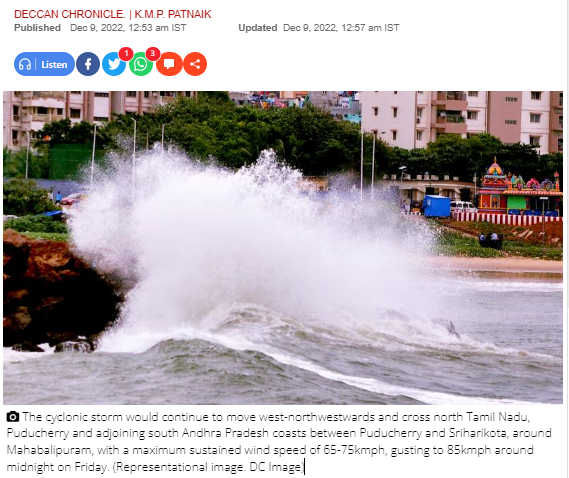
The cyclonic storm would continue to move west-northwestwards and cross north Tamil Nadu, Puducherry and adjoining south Andhra Pradesh coasts between Puducherry and Sriharikota, around Mahabalipuram, with a maximum sustained wind speed of 65-75kmph, gusting to 85kmph around midnight on Friday.
Private website Skymet said though the main cluster of clouds was away from the coast, the peripherals of clouds have reached the coastal regions. “Both Puducherry and Chennai have started to see some light and intermittent rains. Winds are picking up over the coast and rains will later on pick up even more.”
IMD said that under the influence of the system, light to moderate rainfall could occur at most places, heavy to very heavy rainfall at a few places, extremely heavy rainfall at isolated places over north coastal Tamil Nadu, Puducherry and isolated heavy to very heavy rainfall over adjoining south coastal Andhra Pradesh, north interior Tamil Nadu and Rayalaseema.
Gale wind, its speed reaching 85-95kmph, gusting to 105kmph, would prevail over southwest Bay of Bengal till the early morning on Friday.
The report warned fishermen against venturing into the sea till December 10 as there would be a sea surge.
Chief Minister Y.S. Jagan Mohan Reddy has put the south Andhra districts on high alert in view of the cyclonic storm Mandous in the Bay of Bengal. He asked the collectors to do the needful on an urgent basis.
The CM reviewed the situation at a meeting here. He said adequate precautions should be taken by the authorities after reviewing the impact of the storm from time to time.
The officials informed the CM that rain has been forecast in Nellore, Tirupati, Chittoor etc. He asked the officials of the agriculture department to spread awareness about the precautions to be taken by the farmers.
Chief secretary Jawahar Reddy held a video conference with collectors of Tirupati, Annamaya, YSR Kadapa districts, reviewing the situation.
He told them that the storm would reach the coasts of Puducherry, Mahabalipuram and Sriharikota by Friday night. “Take all precautions as moderate to heavy rains are likely in these districts under the influence of the cyclonic storm,” he asked the officials.
The chief secretary said one NDRF team in Prakasam district, two in Nellore and one each in Tirupati and Chittoor have been deployed.
Similarly, four SDRF teams, one each in Prakasam, Nellore, Tirupati and Chittoor have been stationed.
He asked the collectors to take up immediate repairs to roads and other communication networks in case of damages and keep the control rooms on alert round the clock till the storm crossed the coast.


