Turkey Earthquake: Satellite Images Show Over 300-km-long Crack in Earth’s Surface

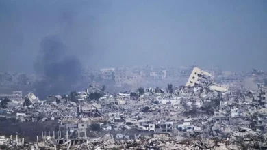
As the magnitude 7.8 quake rippled through Turkey and Syria, followed by a dozen aftershocks including a 7.5 tremor caused destruction on a large-scale and claimed over 24,000 deaths till now, satellite images have captured the havoc that has followed the natural disaster.
In one such instance, UK’s Centre for the Observation and Modelling of Earthquakes, Volcanoes and Tectonics (COMET) shows an image of a rupture that stretches over 300-km from the Mediterranean Sea’s northeastern tip.
COMET took the pre and post images of land in the two nations to show the effect of tremors and the massive destruction caused by them. The agency has compared its images by the European Earth-observing satellite Sentinel-1.
The pictures show two fissure images caused by the earthquake. One of them, which is 125 km long opened nearly nine hours after the second tremour took place in the region. The first tremor took place at 4:17 local time on Monday.
“Scale of the event is horrific,” COMET said in a tweet.


